Land cover mapping and monitoring with satellite data
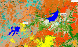
Land cover change essentially represents the human footprint on earth that is visible from space and satellites have been observing this transformation for past forty years, during which time the human population has doubled. Land cover data are in very high demand as it forms the basis for spatial planning and resource management. Our research strives to improve land cover mapping efficiency (cost and time) by developing locally-tuned, highly automated land cover monitoring systems. We monitor land cover change with Landsat, Sentinel1 (SAR) and Sentinel2 data by applying advanced time series analysis and machine learning methods.
Land use and land cover change is a major driving force of global change. Human-induced land cover conversion of natural vegetation to croplands, pastures, monoculture plantations, and urban areas have contributed significantly to greenhouse gasses, loss of carbon stocks, loss of biodiversity and ecosystem services, to the detriment of human well-being. The availability of free medium resolution satellite data, the advancements in information technology and increase computational resources have made highly automated land cover monitoring a reality.
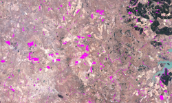
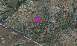
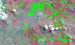
The CSIR-Meraka has developed a land cover classification system which used Landsat time-series and machine learning. The system can rapidly update a land cover map for a desired year from a previously produced land cover map using change detection, automated training data generation in non-change areas and random forest classifiers. Synthetic Aperture Radar (SAR) data are also being incorporated into the system to improve the separation of spectrally similar classes.


